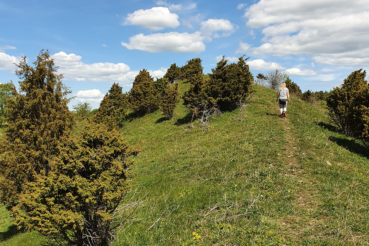
The almost kilometre-long ridge stretches in a north–south direction through the agricultural landscape of Smula parish. Eskers formed during the last ice age, as meltwater beneath the ice created ridges of stones, gravel, and sand. Eskers run parallel to the ice’s direction of movement, usually north–south. The stones, gravel, and sand in the esker are rounded and arranged by size.
Smula ås is partially steep and rises above the surrounding landscape. To the south it borders to the river Ätran. The ridge used to be mowed, but during the 20th century the mowing was replaced by grazing. The flora on the ridge is lime-loving and typical of dry meadows.


