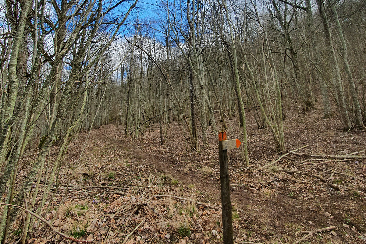
Above the orchid meadows, along the slopes of Plantaberget, grows a magnificent broadleaf forest. The boundary between the table mountains’ limestone and clay shale layers is visible here. The clay shale is visible on the edge of the cliff and is often pulverised into gravel. Clay shale formed as clay sediment was deposited in a shallow sea around 400 million years ago and then pressed together until it lithified. There are several natural wellsprings along the slopes of Plantaberget. The dolerite, positioned above the clay shale, is fractured enough to let water through down to the porous, soft, and much fractured clay shale. Wellsprings in the clay shale often have good groundwater as it is rarely affected by human activity, because the clay shale’s extent is more or less limited to that of the mountains’ dolerite plateaus.


